Navigating with Navionics® Course
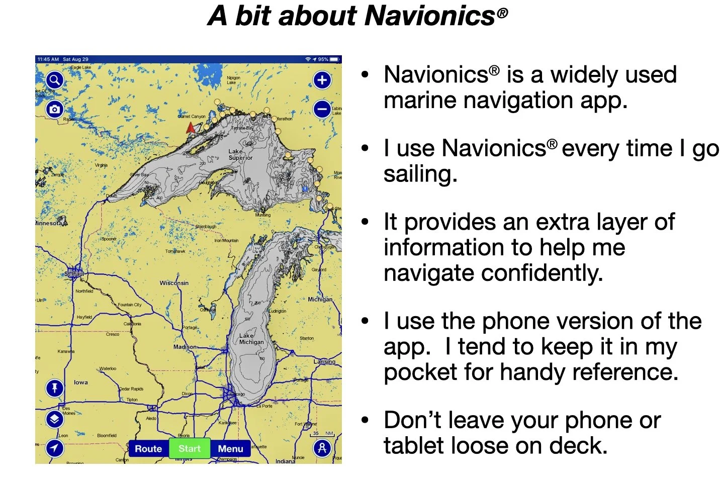
Navionics® is one of the most popular electronic navigation apps. There’s a host of features that this course can teach you to use, to ensure you can safely and easily find your way anywhere on the water.
The information in this course is based on Royal Yachting Association (RYA), American Sailing Association (ASA) and Sail Canada instruction schemes. This course uses Navionics® to teach general chart reading skills that apply to all charts and is hosted on Thinkific.com.
Price: $45 CADThese are lesson samples from the course:
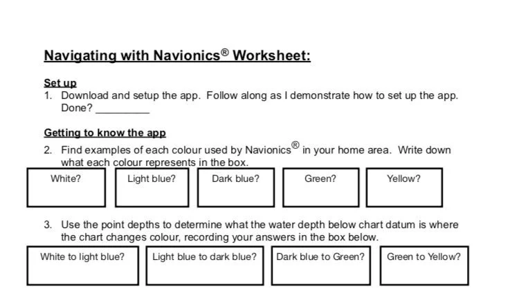
With a mix of animations, voice instruction, Navionics® screen captures, worksheets and downloadable PDF resources, the course covers an introduction to the Navionics® app, chartwork, electronic navigation, and basic and advanced app options.
Course Contents:
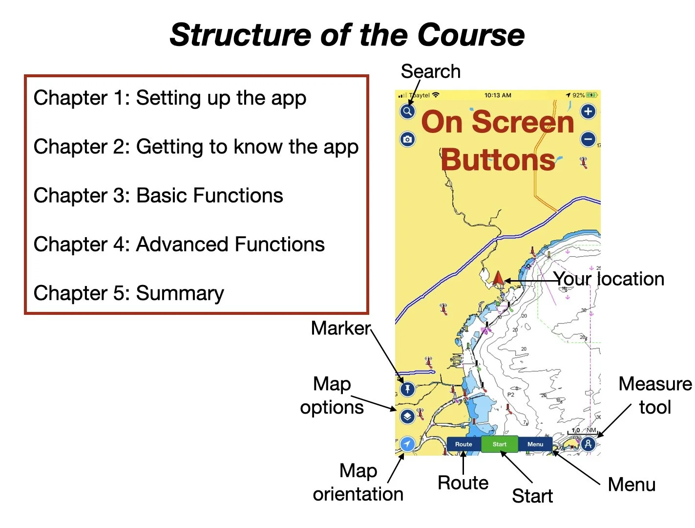
Chapter 1: introduction and setting up the app
This section covers a bit of material you need to know before starting, such as where to download the map and how to setup the app so that your screen is the same as the instructor’s.
Chapter 2: Getting to know the App
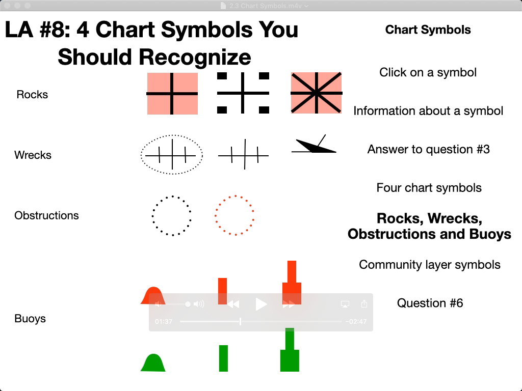
Chapter 2 includes information on reading the charts; how the app marks hazards and other dangers; how depths and heights are shown; and what information that is available by clicking on the symbols.
Chapter 3: Basic functions
Chapter 3 covers the map options menu; measuring distance; and the weather and location functions.
Chapter 4: Advanced Functions
In this section we discuss the Start button, the Map Orientation buttons, the Menu button and the Route button.
